AmenitiesRestrooms
Picnic Table Boat Landing Visitor Center Kayak/ Canoe Launch Running Water Hiking Trails Owner: Voyageurs National Park
MapGallery
AmenitiesBoat Landing
Rest Rooms Campground Picnic Area Beach Owner: State of Minnesota Mn DNR Website: Kabetogama State Forest | Minnesota DNR
Map48.4828815606017, -93.05792738334662
Gallery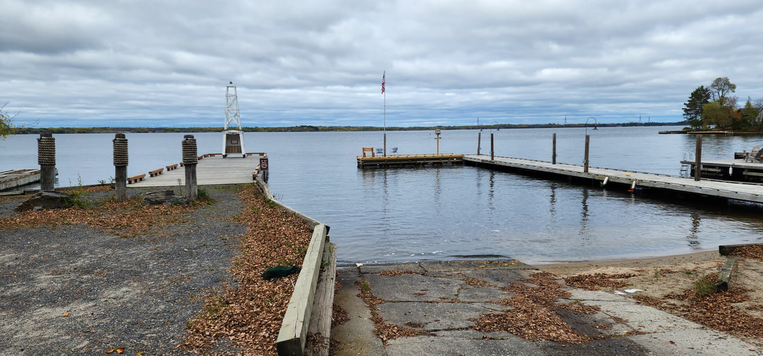
AmenitiesBoat Landing
Dock with Boat Slips Owner: City of Ranier MapGallery
AmenitiesPorta-potty
Picnic Table Boat Landing Fishing Dock with boat slips Parking behind the Ranier Community Building Owner: City of Ranier Map48.614242625548705, -93.35014200031884
Gallery
AmenitiesToilets
Shelter Picnic Table Boat Landing (concrete) Fishing Dock Owner: City of International Falls Map48.51316583269611, -93.80045798719543
Gallery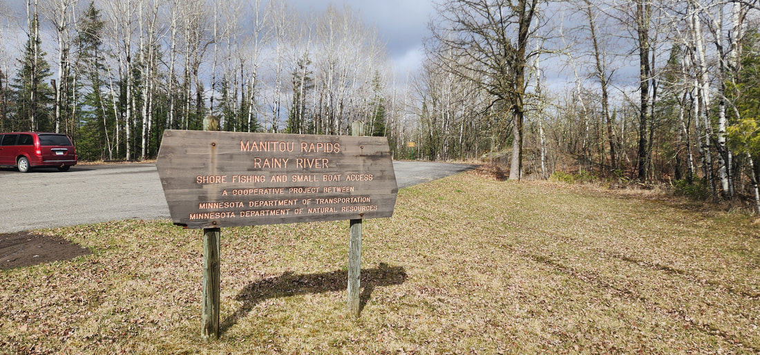
AmenitiesPorta-potty
Boat Landing (carry-in) Owner: State of Minnesota Map48.63237809697991, -93.91028872909983
Gallery
AmenitiesBoat Landing (concrete)
Owner: City of Littlefork MapGalleryVideo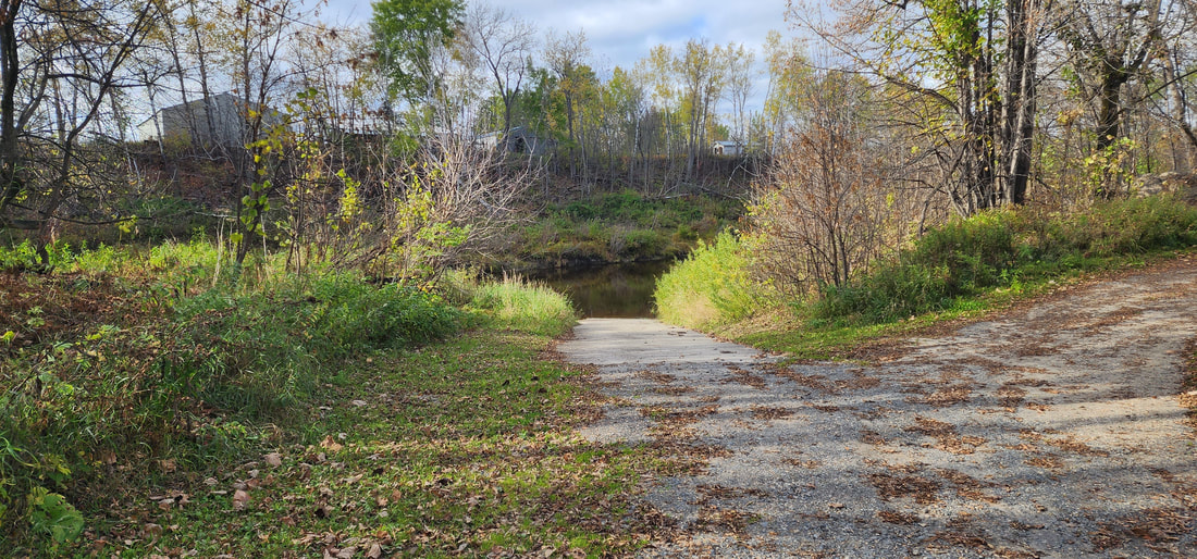
AmenitiesMapGallery
AmenitiesPorta-potty
Picnic Table Boat Landing (earth) Owner: State of Minnesota Map48.39164903830336, -93.4222009578836
GalleryVideosAmenitiesPorta-potty
Picnic Table Boat Landing (carry-in) Owner: Koochiching County MapAmenities
Boat Landing
Owner: Koochiching County Map
AmenitiesGravel Boat Landing
Porta-potty Firepit Owner: Koochiching County Map
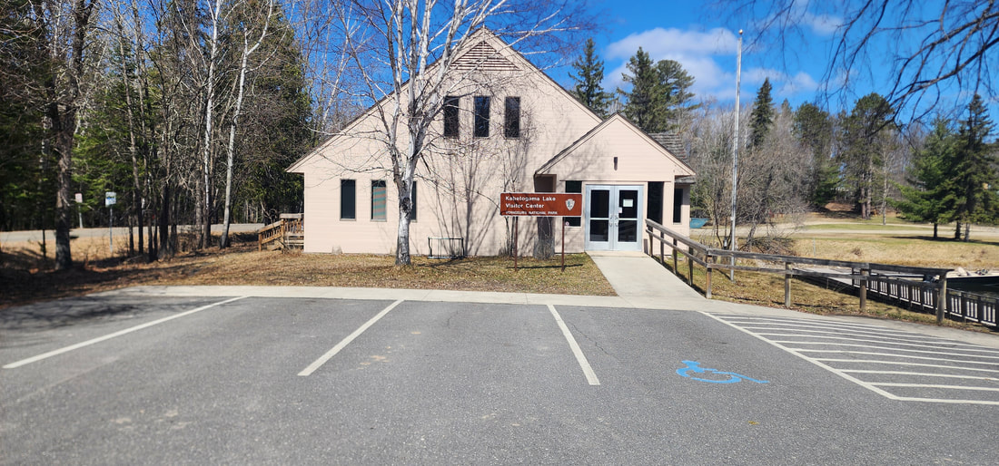
AmenitiesRestrooms
Shelters Picnic Table Boat Landing Fishing Dock Kayak/ Canoe Launch Running Water Visitor Center Hiking Trails Owner: Voyageurs National Park Map48.58352682488618, -93.16165146731626
Gallery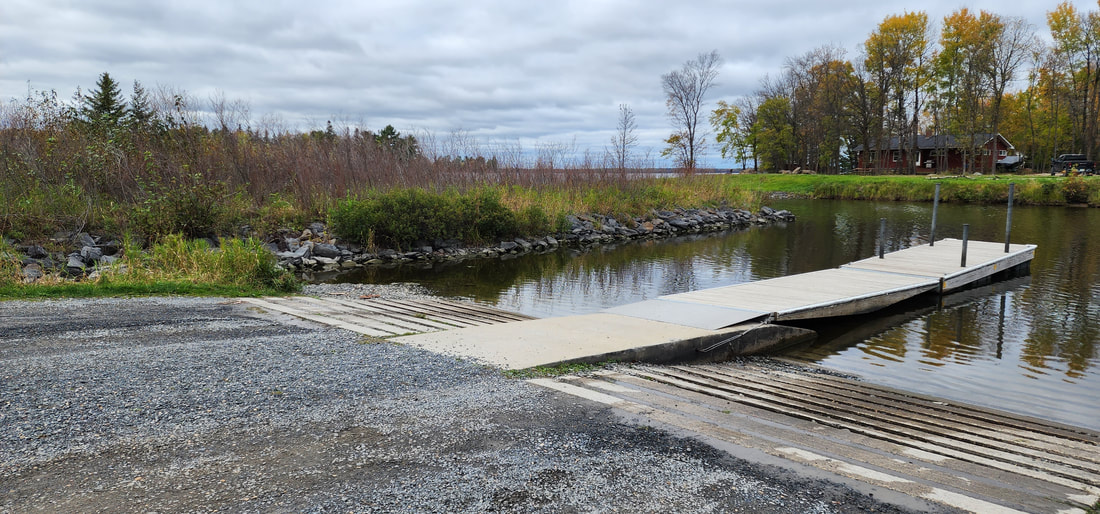
AmenitiesBoat Landing
Owner: State of Minnesota Map48.60848961812793, -93.28959690382403
Gallery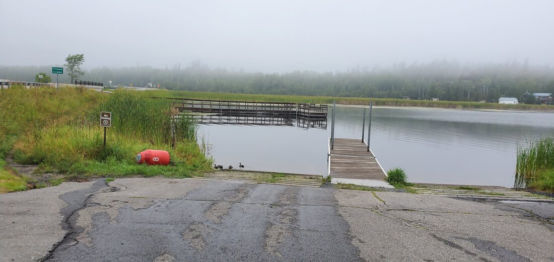
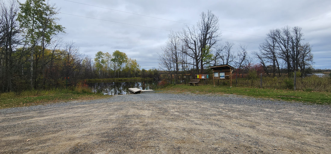
AmenitiesPorta-potty
Boat Landing Fishing Dock Hiking Trail Tilson Creek Bogwalk located across the street at the other end of the parking lot. Owner: State of Minnesota Map48.598750517805136, -93.23422750525452
Gallery
AmenitiesBoat Landing
Very little parking Owner: State of Minnesota Map48.59700564648542, -93.16917131504404
GalleryVideos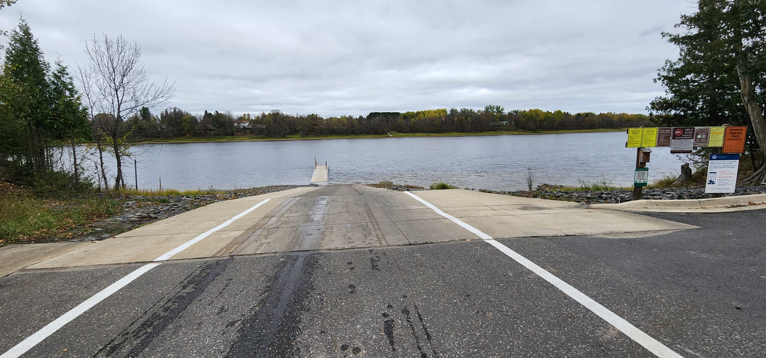
AmenitiesBoat Landing
Owner: State of Minnesota Map48.591637107761834, -93.44630686361177
Gallery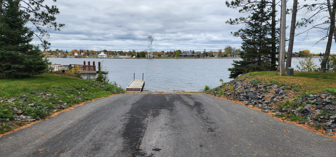
AmenitiesPorta-potty
Shelter Picnic Table Boat Landing Fishing Dock Owner: City of International Falls MapGallery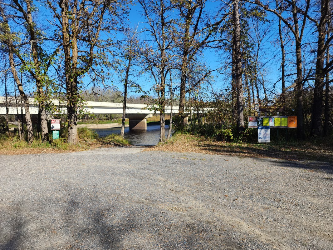
AmenitiesPorta-potty
Picnic Table Boat Landing Owner: Koochiching County Map48.51214626510633, -93.71263205916628
Gallery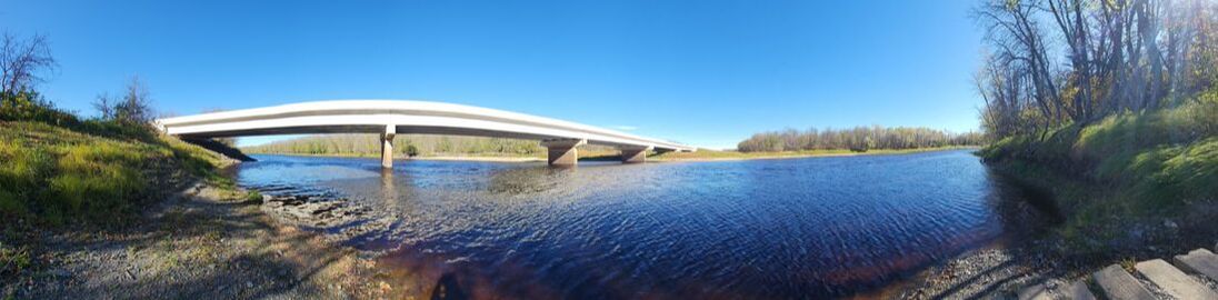
AmenitiesBoat Landing
Owner: Koochiching County MapGalleryVideos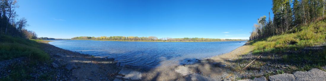
AmenitiesPorta-potty
Boat Landing Owner: State of Minnesota Map48.52611307244752, -93.57014120477378
Gallery
|


